Trail Walking Rousset-les-Vignes - Le pas de la Cluse - Photo
 yjguerin
yjguerin

User

© OpenStreetMap contributors
Length
Length
6 km
Max alt
Max alt
1047 m
Uphill gradient
Uphill gradient
457 m
Km-Effort
Km-Effort  
11.2 km
Min alt
Min alt
583 m
Downhill gradient
Downhill gradient
203 m
Boucle
Boucle
No
Creation date :
2019-05-01 07:39:03.551
Updated on :
2019-05-01 07:39:03.603

(0 Reviews)

Walking
Walking
2h24
Difficulty : Easy

Scan this QR Code to open this trail in the SityTrail application

FREE GPS app for hiking

Logo SityTrail SityTrail

IGN / Geographical institutes

Download SityTrail from the App Store Download SityTrail from Google Play

Logo SityTrail SityTrail World

The world is yours!

Download SityTrail from the App Store Download SityTrail from Google Play Download SityTrail on Huawei AppGallery

About

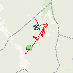
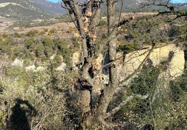
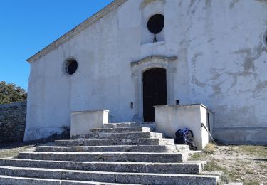
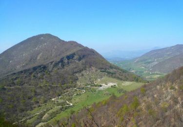
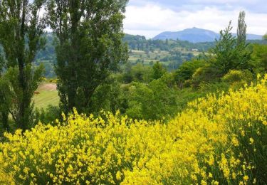
Trail Walking of 6 km to be discovered at Auvergne-Rhône-Alpes, Drôme, Rousset-les-Vignes. This trail is proposed by yjguerin.

Description

Au retour, arrivé à la balise de fin il reste 2 km pour atteindre le point de départ

Elevation profile

Positioning

Country:
France
Region :
Auvergne-Rhône-Alpes
Department/Province :
Drôme
Municipality :
Rousset-les-Vignes
Location:
Unknown
Start:(UTM)
666057 ; 4921914 (31T) N.

Trails nearby

Trail Walking Rousset-les-Vignes - Rousset- La Lance - Photo
Walking
willano

Walking

Difficult
(1)
Rousset-les-Vignes, Auvergne-Rhône-Alpes, Drôme, France
14 km | 26 km-effort
2h 55min
Yes
Trail Walking Teyssières - Randonnée au départ de Teyssières (Le Cougoir, La Lance) - Photo
Walking
Julie LABBE

Walking

Very difficult
Teyssières, Auvergne-Rhône-Alpes, Drôme, France
22 km | 40 km-effort
9h 2min
Yes
Trail Walking Rousset-les-Vignes - Rousset les vignes sous La Chapelle - Photo
Walking
aitkhedache

Walking

Easy
Rousset-les-Vignes, Auvergne-Rhône-Alpes, Drôme, France
3.7 km | 6.4 km-effort
1h 50min
Yes
Trail Walking Saint-Pantaléon-les-Vignes - Saint Pantaleon crevasses.  - Photo
Walking
aitkhedache

Walking

Medium
(1)
Saint-Pantaléon-les-Vignes, Auvergne-Rhône-Alpes, Drôme, France
5.1 km | 6.6 km-effort
2h 0min
Yes
Trail Walking Venterol - Col de la Sausse par la Combe de Sauve - Photo
Walking
yjguerin

Walking

Very easy
(1)
Venterol, Auvergne-Rhône-Alpes, Drôme, France
5.3 km | 8.7 km-effort
1h 46min
Yes
Trail Mountain bike Venterol - Dir . Valreas - Photo
Mountain bike
geijs

Mountain bike

Medium
(1)
Venterol, Auvergne-Rhône-Alpes, Drôme, France
22 km | 27 km-effort
1h 17min
No
Trail Walking Rousset-les-Vignes - 26 Rousset les vignes - Photo
Walking
himba26100

Walking

Medium
Rousset-les-Vignes, Auvergne-Rhône-Alpes, Drôme, France
14.8 km | 26 km-effort
7h 18min
Yes
Trail Walking Teyssières - Tour du Pays de Dieulefit - Teyssières à Vesc (Col de Blanc) - Photo
Walking
tracegps

Walking

Difficult
Teyssières, Auvergne-Rhône-Alpes, Drôme, France
14.9 km | 24 km-effort
5h 0min
No
Trail Walking Roche-Saint-Secret-Béconne - Tour du Pays de Dieulefit  - Fontlargias à Teyssières - Photo
Walking
tracegps

Walking

Difficult
Roche-Saint-Secret-Béconne, Auvergne-Rhône-Alpes, Drôme, France
13.3 km | 25 km-effort
4h 0min
No


Close
My subscriptions