


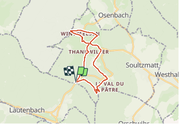

12.7 km | 20 km-effort

User


FREE GPS app for hiking
 SityTrail
IGN / Geographical institutes
SityTrail World
The world is yours!
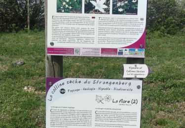
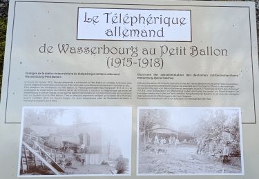
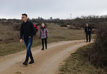
Trail Walking of 11.9 km to be discovered at Grand Est, Haut-Rhin, Soultzmatt. This trail is proposed by Richard68500.
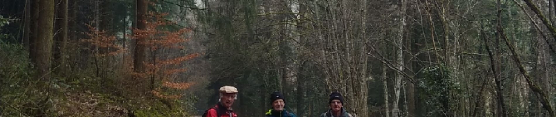
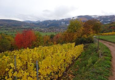
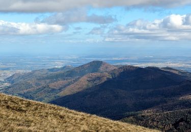
belle randonnée sans pluie, un peu de soleil, mais un Edel à 22 Euros et le demi Edel à 14 Euros... à l'Arbre Vert
 - Photo 1")

Walking
Walking
Walking

On foot

Walking

Mountain bike
Walking
Walking
Walking