


9.4 km | 15.5 km-effort
Theys: Discover the best trails: 3 on foot, 44 walking, 1 nordic walking and 1 running. All these trails, routes and outdoor activities are available in our SityTrail applications for smartphones and tablets.
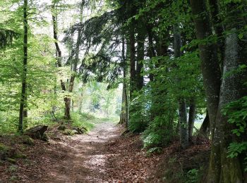
Walking


Walking
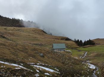
Walking

Walking

On foot

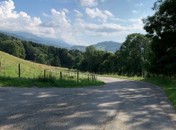
Walking
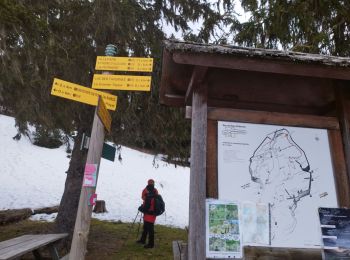
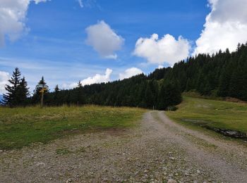
• Départ au bout de la route goudronnée: au Carrefour des quatre chemins.Montée agréable, au frais jusqu'au col de Mer...
Walking

Walking
Walking
Walking
Walking

Walking

Walking

Walking
Walking
Walking

On foot
Walking
Walking
Walking
20 trails displayed on 49
FREE GPS app for hiking
 SityTrail
IGN / Geographical institutes
SityTrail World
The world is yours!