


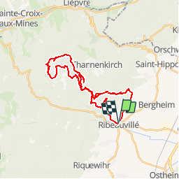

19.3 km | 24 km-effort


User


FREE GPS app for hiking
 SityTrail
IGN / Geographical institutes
SityTrail World
The world is yours!
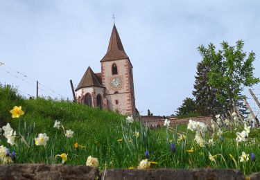
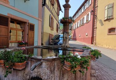
Trail Mountain bike of 30 km to be discovered at Grand Est, Haut-Rhin, Ribeauvillé. This trail is proposed by tracegps.
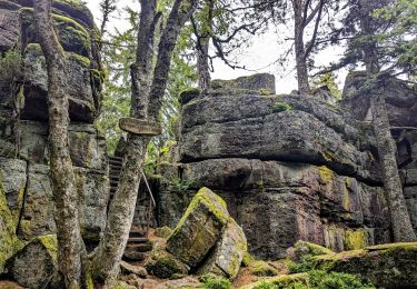
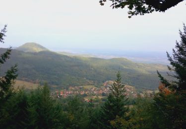
La crête du Taennchel est très connue par les randonneurs pour les multiples points de vue rencontrés. Cette crête se parcours très bien à VTT. Les quelques difficultés rencontrées permettent de mettre à profit son baguage de trialiste, et permettent de mesurer son degré d'engagement sur les quelques marches et passages plus techniques. Le sentier passe à proximité de la Roche des Trois Tables, du Rammelfels, du Rocher des Reptiles, Rocher des Géants, Rocher Bellevue, Rocher Pointu, Rocher des Titans, etc... Prévoyez de nombreux arrêts si vous découvrez le site pour la première fois.


Mountain bike
Walking

Walking

Walking
Walking

Walking
Walking
Mountain bike
Walking