


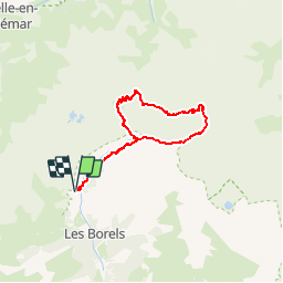

9.5 km | 12.2 km-effort


User


FREE GPS app for hiking
 SityTrail
IGN / Geographical institutes
SityTrail World
The world is yours!
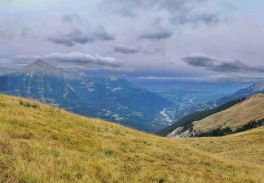
Trail Walking of 25 km to be discovered at Provence-Alpes-Côte d'Azur, Hautes-Alpes, Champoléon. This trail is proposed by tracegps.
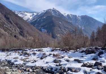
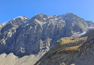
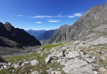
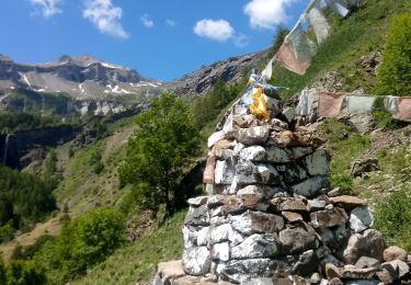
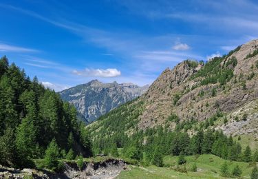
Belle randonnée facile, dans un cadre plutôt sauvage, agrémentée par l’ascension de deux cols faciles et discussion avec les marmottes en option... Toutes les descriptions et les photos sont sur Montagne Cool


Walking

Walking
Walking
Walking
On foot
Walking

Walking

Walking
Walking