


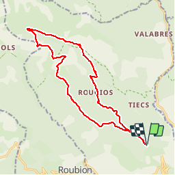


18.1 km | 33 km-effort

User


FREE GPS app for hiking
 SityTrail
IGN / Geographical institutes
SityTrail World
The world is yours!
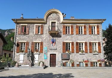
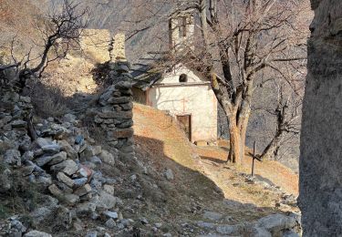
Trail Walking of 17.7 km to be discovered at Provence-Alpes-Côte d'Azur, Maritime Alps, Roure. This trail is proposed by tracegps.
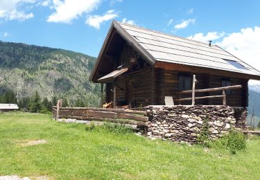
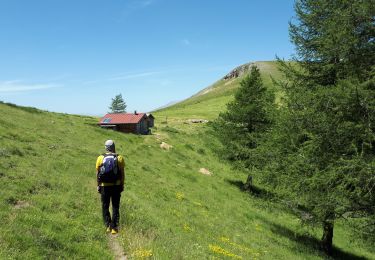
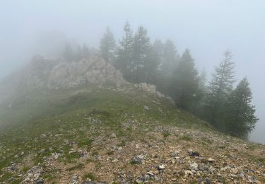
A la sortie de St-Sauveur-sur-Tinée, prendre à gauche la D30 puis la D130 vers Roure. Prendre la direction de l'arboretum et se garer près de la balise 241, point de départ du circuit. A la balise 254, prendre à gauche et suivre le balisage jaune jusqu'au sommet du Mt Aucéllier. Passer à proximité d'une bergerie et rejoindre le GR5 que l'on suivra pour rejoindre le point de départ. Randonnée faite fin juin avec un régal pour les yeux: camaïeu de vert et une multitude de fleurs. N.B.: possibilité de faire une petite pause au refuge de Longon.


Walking
On foot
On foot

Walking
Walking
Walking
Walking
Walking
Walking