


13 km | 14.9 km-effort

User


FREE GPS app for hiking
 SityTrail
IGN / Geographical institutes
SityTrail World
The world is yours!
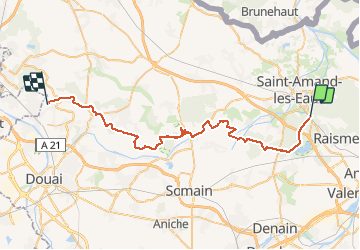
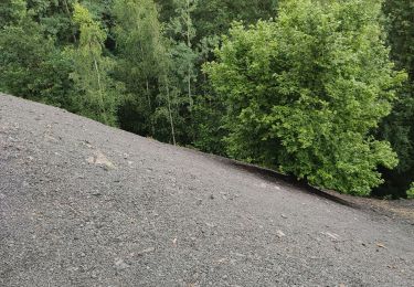
Trail Walking of 43 km to be discovered at Hauts-de-France, Nord, Saint-Amand-les-Eaux. This trail is proposed by tracegps.
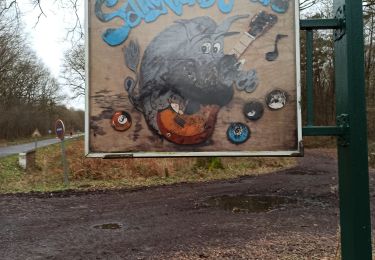
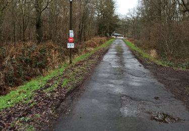
GR 121 Saint Amand les eaux GR 121b Raimbeaucourt: Randonnée en 2jours en autonomie complète. Prévoir un retour. Départ au lieu dit La Grise Chemise à St Amand les Eaux. Jour 1: suivre le GR 121 jusque Marchiennes 22 km. Jour2 Suivre le GR 121B jusque Raimbeaucourt 22km. Bivouac au camping des Evoiches à Marchiennes. A Marchiennes voir les vestiges de l'ancienne Abbaye Bénédictine. Toute les Photos et carnet de Randonnée sur www.nord-gr-randotrek.fr ou ICI. Merci pour votre visite.


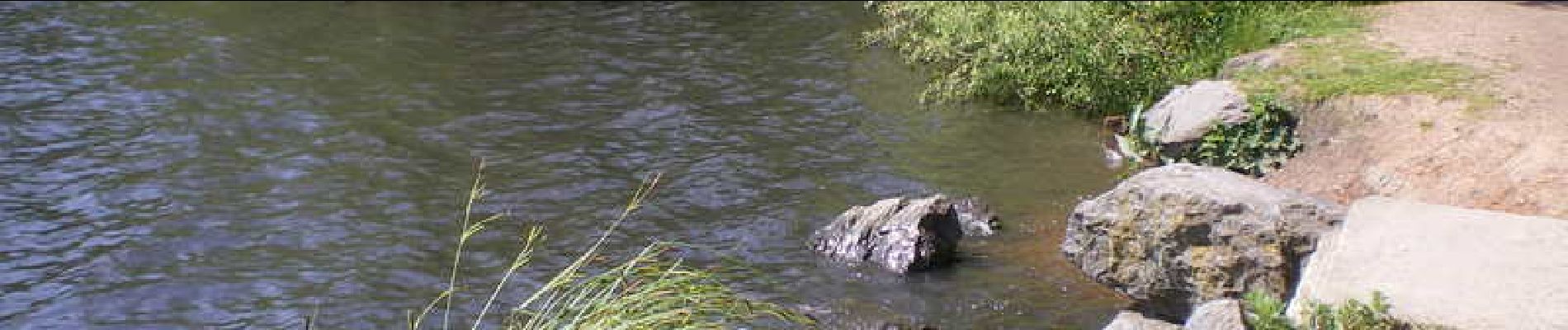
Walking
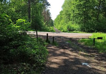
Walking
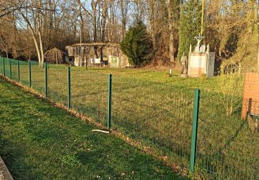
Walking

Walking
Walking

Walking

Walking
Walking
Walking
rando sympa mais camping très bruyant de nuit