


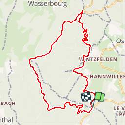

12.7 km | 20 km-effort

User


FREE GPS app for hiking
 SityTrail
IGN / Geographical institutes
SityTrail World
The world is yours!
Trail Mountain bike of 21 km to be discovered at Grand Est, Haut-Rhin, Soultzmatt. This trail is proposed by tracegps.
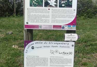
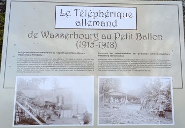
Espace VTT - FFC Région de Guebwiller - n°09 - Circuit du Firstplan Circuit officiel labellisé par la Fédération Française de Cyclisme. Départ du Col de Bannstein - Saint Gangolphe – Lautenbach. A proximité de Lautenbach, avant d’accéder au col du Boenlesgrab, point culminant de la randonnée, ce circuit vous amènera sur les hauteurs du charmant village de Wintzfelden, annexe de Soultzmatt en empruntant le col du Firstplan (point de vue sur le massif du Petit Ballon). Lautenbach : L’origine de la commune semble être due à un établissement religieux. Il est probable qu’au cours du VIIIème siècle, l’abbaye irlandaise de Honau ait créé un prieuré dans la haute vallée de la Lauch. Très tôt, une communauté laïque s’installe autour des religieux. Jusqu’au début du XIXème siècle, la population vit modestement de l’élevage et de l’exploitation de la forêt. Des mines de fer sont exploitées dans le vallon du Saint-Gangolphe, mais cette activité ne connaît jamais une grande ampleur. En 1789, les habitants de Lautenbach obtiennent, sous la menace d’une insurrection armée, les droits d’exploiter les forêts et les pâturages. L’industrie s’implante dans le village avec l’entreprise de retordage de coton créée par l’anglo-néerlandais De Jongh. Topo guide VTT en vente à l’Office du Tourisme de Guebwiller-Soultz et les Pays du Florival - Antenne de Guebwiller - 71 Rue de la République - 68500 – Guebwiller Tel. : 03 89 76 10 63 - Fax :03 89 76 52 72 Crédit photos ; ©Pays d’Art et d’Histoire de la Région de Guebwiller


Walking
Walking
Walking

On foot

Walking

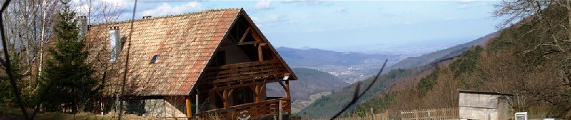
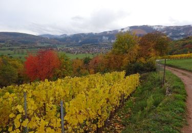
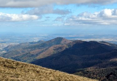
Mountain bike
Walking
Walking

Walking