


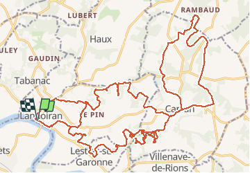

33 km | 42 km-effort


User


FREE GPS app for hiking
 SityTrail
IGN / Geographical institutes
SityTrail World
The world is yours!
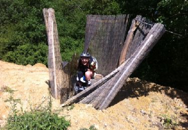
Trail Mountain bike of 43 km to be discovered at New Aquitaine, Gironde, Langoiran. This trail is proposed by Gus64.
Via Haut Langoiran,Lestiac,Ste Anne,Capian et Minguet.

Mountain bike
Walking

Walking
Mountain bike
Walking


Horseback riding