


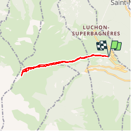

15.6 km | 27 km-effort


User


FREE GPS app for hiking
 SityTrail
IGN / Geographical institutes
SityTrail World
The world is yours!
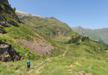
Trail Snowshoes of 11.2 km to be discovered at Occitania, Haute-Garonne, Saint-Aventin. This trail is proposed by Polo-31.
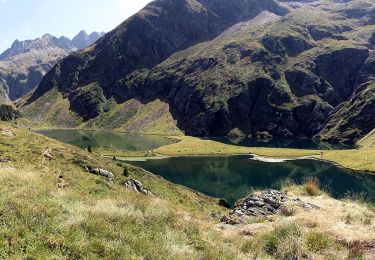
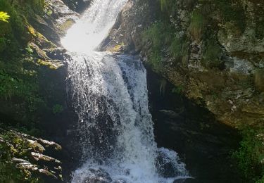
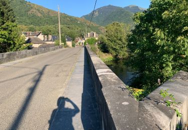
Depuis le parking des Granges d'Espone juste avant les derniers virages de Superbagnère, remonter le vallon jusqu'au pic.

Walking

Mountain bike
On foot

Walking
Walking
Walking
Walking
On foot
On foot