Trail Mountain bike Ribeauvillé - Paysages du Ried - Photo
 Schnacka
Schnacka

User

© OpenStreetMap contributors
Length
Length
25 km
Max alt
Max alt
225 m
Uphill gradient
Uphill gradient
112 m
Km-Effort
Km-Effort  
26 km
Min alt
Min alt
168 m
Downhill gradient
Downhill gradient
148 m
Boucle
Boucle
No
Creation date :
2014-12-10 00:00:00.0
Updated on :
2014-12-10 00:00:00.0

(0 Reviews)

Mountain bike
Mountain bike
2h00
Difficulty : Medium

Scan this QR Code to open this trail in the SityTrail application

FREE GPS app for hiking

Logo SityTrail SityTrail

IGN / Geographical institutes

Download SityTrail from the App Store Download SityTrail from Google Play

Logo SityTrail SityTrail World

The world is yours!

Download SityTrail from the App Store Download SityTrail from Google Play Download SityTrail on Huawei AppGallery

About

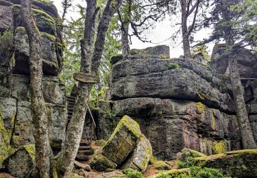
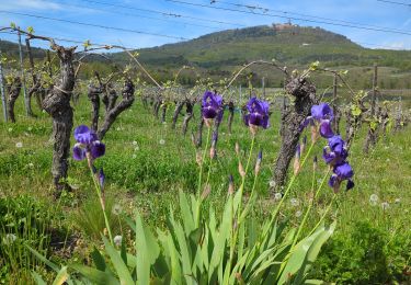
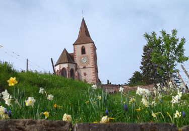
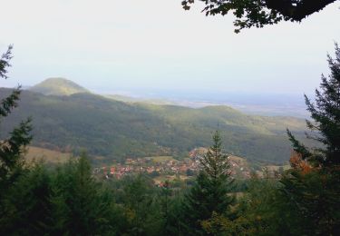
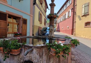
Trail Mountain bike of 25 km to be discovered at Grand Est, Haut-Rhin, Ribeauvillé. This trail is proposed by Schnacka.

Description

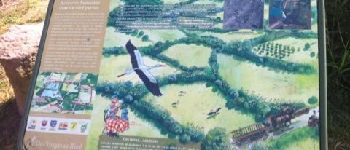
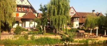
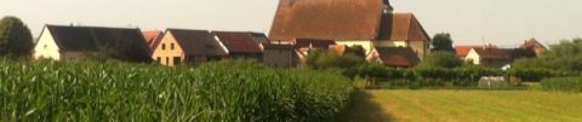
Circuit vélo (VTT ou VTC) de difficulté moyenne, permettant de découvrir les paysages du Ried du Pays de Ribeauvillé-Riquewihr tout en admirant le panorama du vignoble et des collines sous-vosgiennes, à l''ombre tutélaire du château du Haut-Koeniigsbourg et des châteaux de Ribeauvillé.

Elevation profile

Photos

Points of interest

Point of interest Saint-Hippolyte - Point 3 - Photo
Schnacka
SAINT-HIPPOLYTE 
Point of interest Illhaeusern - Point 9 - Photo
Schnacka
ILLHAEUSERN 

Positioning

Country:
France
Region :
Grand Est
Department/Province :
Haut-Rhin
Municipality :
Ribeauvillé
Location:
Unknown
Start:(UTM)
376152 ; 5339271 (32U) N.

Trails nearby

Trail Mountain bike Ribeauvillé - Ribeauvillé Riquewihr - Photo
Mountain bike
tracegps

Mountain bike

Medium
(1)
Ribeauvillé, Grand Est, Haut-Rhin, France
19.3 km | 24 km-effort
1h 30min
Yes
Trail Walking Ribeauvillé - 2023-08-26 Marche Ribeauville Taennchel - Photo
Walking
GUIDE
holtzv

Walking

Medium
(1)
Ribeauvillé, Grand Est, Haut-Rhin, France
20 km | 34 km-effort
7h 45min
Yes
Trail Walking Hunawihr - Hunawihr - Riquewihr - Photo
Walking
JMCMoreau

Walking

Easy
(1)
Hunawihr, Grand Est, Haut-Rhin, France
6.3 km | 9 km-effort
2h 15min
Yes
Trail Walking Riquewihr - Sentier des grands crus - Photo
Walking
GUIDE
pascalou73

Walking

Medium
(2)
Riquewihr, Grand Est, Haut-Rhin, France
11.5 km | 14.4 km-effort
3h 7min
Yes
Trail Walking Saint-Hippolyte - St hippolyte ht koenigsbourg - Photo
Walking
legereric

Walking

Medium
(2)
Saint-Hippolyte, Grand Est, Haut-Rhin, France
12 km | 18.7 km-effort
3h 27min
Yes
Trail Walking Saint-Hippolyte - St-Hippolyte - Rorschwihr - Grasberg - Bergheim - Reichenberg - Rodern - Photo
Walking
VacheKiri67

Walking

Medium
Saint-Hippolyte, Grand Est, Haut-Rhin, France
17.3 km | 22 km-effort
4h 28min
Yes
Trail Walking Mittelwihr - Mittelwihr - Beblenheim - Zellenberg - Hunawihr  - Riquewihr -  Nécropole de Sigolsheim - Photo
Walking
VacheKiri67

Walking

Medium
Mittelwihr, Grand Est, Haut-Rhin, France
14.5 km | 19.3 km-effort
4h 8min
Yes
Trail Mountain bike Bergheim - 1 ère sortie - Photo
Mountain bike
Jeje Seuil

Mountain bike

Easy
Bergheim, Grand Est, Haut-Rhin, France
12.6 km | 19.1 km-effort
1h 53min
Yes
Trail Walking Riquewihr - Riquewihr  - Photo
Walking
ISATR

Walking

Medium
Riquewihr, Grand Est, Haut-Rhin, France
13.8 km | 18.2 km-effort
4h 8min
Yes


Close
My subscriptions