


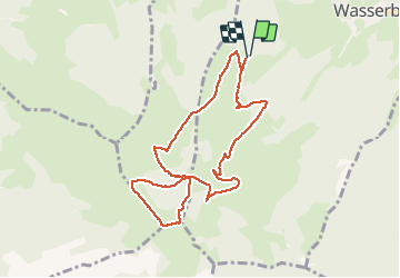

12.7 km | 20 km-effort

User


FREE GPS app for hiking
 SityTrail
IGN / Geographical institutes
SityTrail World
The world is yours!
Trail Walking of 8.5 km to be discovered at Grand Est, Haut-Rhin, Wasserbourg. This trail is proposed by zazie.
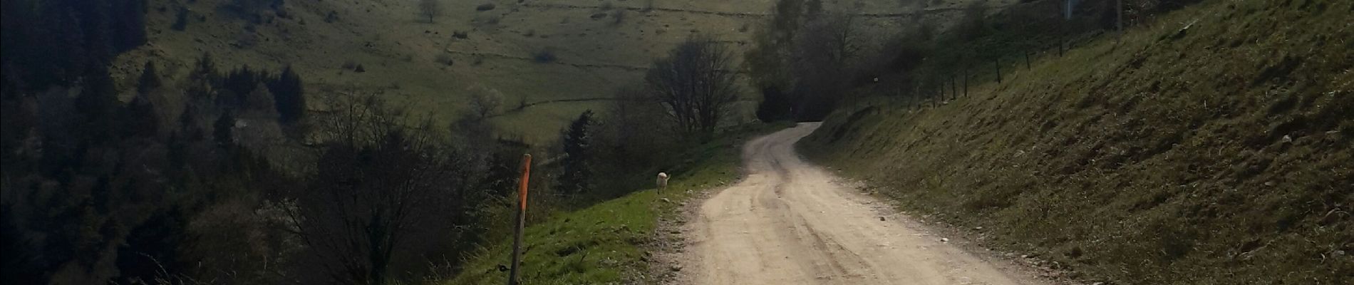
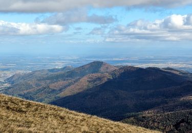
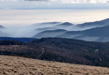
Promenade sur les sentiers vosgiens en passant par le sommet du Petit Ballon et les fermes auberges voisines


Walking

Walking

Walking

Walking

Mountain bike
Walking

On foot

Walking
Walking