


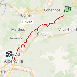


18.1 km | 28 km-effort


User


FREE GPS app for hiking
 SityTrail
IGN / Geographical institutes
SityTrail World
The world is yours!
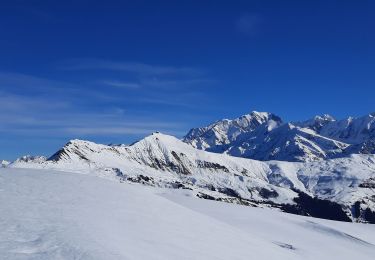
Trail Mountain bike of 18.9 km to be discovered at Auvergne-Rhône-Alpes, Savoy, Villard-sur-Doron. This trail is proposed by biollay.
Descente enduro de Bizane vers Albertville
Walking

Cycle

Walking
Walking
Snowshoes
Walking
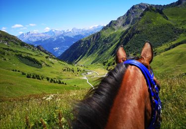
Horseback riding

Walking
Walking