


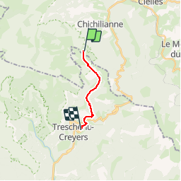

10.2 km | 17.1 km-effort


User

FREE GPS app for hiking
 SityTrail
IGN / Geographical institutes
SityTrail World
The world is yours!
Trail Walking of 8.9 km to be discovered at Auvergne-Rhône-Alpes, Isère, Chichilianne. This trail is proposed by JARJATTE.
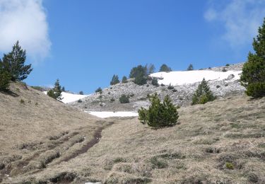
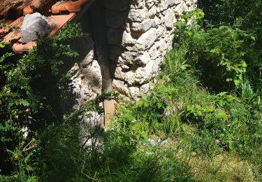
descente vers les Nonnieres
Walking

Walking

Walking

Walking
Walking

Walking

Snowshoes
Walking
Walking