


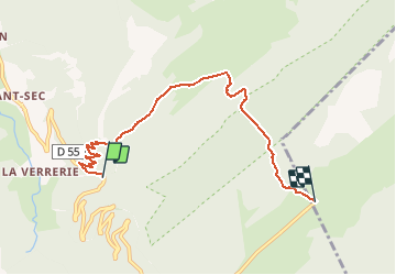

9 km | 15.6 km-effort

User


FREE GPS app for hiking
 SityTrail
IGN / Geographical institutes
SityTrail World
The world is yours!
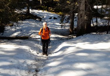
Trail Walking of 6.3 km to be discovered at Auvergne-Rhône-Alpes, Upper Savoy, Fillière. This trail is proposed by djeepee74.
Monter une seconde voiture au point d'arrivée de la rando.
Il y a de quoi se restaurer sur le plateau:
https://restaurantgautard.fr/
Réservation au 04 50 24 40 71


Walking

Walking

Walking
Walking
Walking
Walking
Walking
Walking
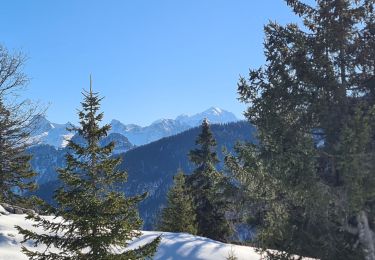
Snowshoes