


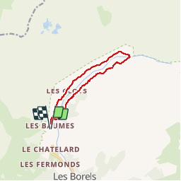

9.5 km | 12.2 km-effort


User


FREE GPS app for hiking
 SityTrail
IGN / Geographical institutes
SityTrail World
The world is yours!
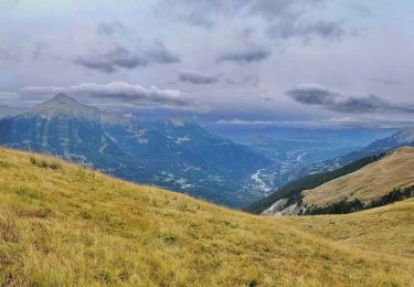
Trail Walking of 10.4 km to be discovered at Provence-Alpes-Côte d'Azur, Hautes-Alpes, Champoléon. This trail is proposed by Kilroy06.
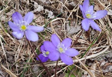
Très jolie petite randonnée. On y trouve beaucoup de fraises, framboises et myrtilles. La montée se fait sous les bois et en traversant quelques pierriers. Le retour se fait par la petite route ou par le même chemin.
Walking

Walking

Walking
Walking
On foot

Walking

Walking
Walking
Walking