


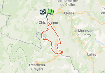


10.2 km | 17.1 km-effort


User


FREE GPS app for hiking
 SityTrail
IGN / Geographical institutes
SityTrail World
The world is yours!
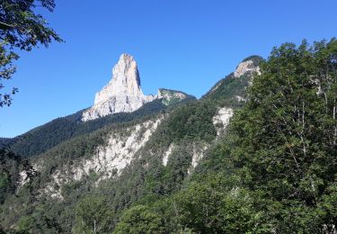
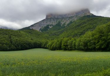
Trail Horseback riding of 23 km to be discovered at Auvergne-Rhône-Alpes, Isère, Chichilianne. This trail is proposed by Celine1217.
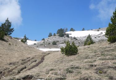
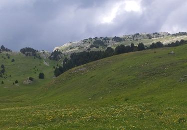
Randonnée très difficile, au départ de la Ferme des 4 chemins qui m'a indiqué le tracé. La montée est longue et difficile sur la fin, la descente est abrupte et pénible, mais le paysage en vaut la peine. SPLENDIDE.
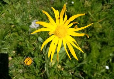
Rencontre désagréable avec les chiens de troupeau, finalement calmés par un coup de pied de mon cheval. Rencontré des vautours, des brebis, des chevreuils, des perdrix, des lièvres et traversé un pâturage de chevaux Mérens.
Chiens interdits.
Walking

Walking

Walking

Snowshoes
Walking
Walking
Walking
Walking
On foot