


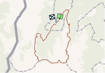

5.7 km | 10.6 km-effort


User


FREE GPS app for hiking
 SityTrail
IGN / Geographical institutes
SityTrail World
The world is yours!
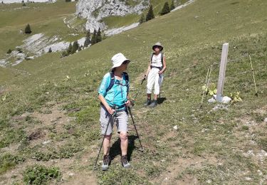
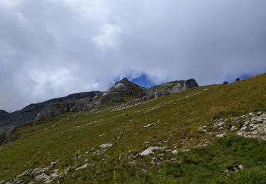
Trail Walking of 8.3 km to be discovered at Valais/Wallis, Monthey, Monthey. This trail is proposed by duamerg.
"A Muraz, prendre la petite route en mauvais état pour Draversa (17km!). Jolie promenade avec une superbe vue sur le Léman, le Mont-Blanc ....
La route depuis Muraz n'est plus accessible, passer par Morgins et la route pour les Portes du Culet

Snowshoes

Snowshoes

Snowshoes

Walking
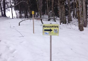
Snowshoes
Mountain bike
Walking
Walking
Walking