


15.5 km | 28 km-effort

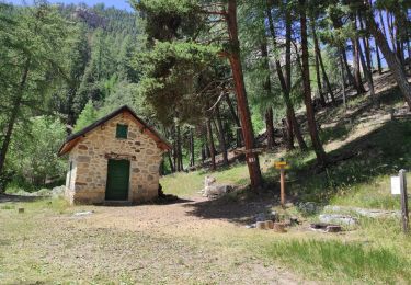
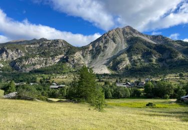
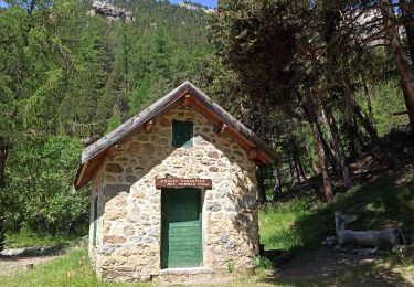
La Clarée un must pour randonner alors à nous d'en profiter ....


FREE GPS app for hiking
 SityTrail
IGN / Geographical institutes
SityTrail World
The world is yours!
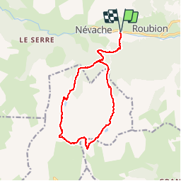
Trail Walking of 15.6 km to be discovered at Provence-Alpes-Côte d'Azur, Hautes-Alpes, Névache. This trail is proposed by Névache Aout 2020 REV 83.
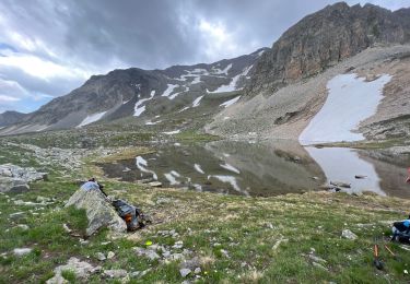
J3 REV Névache 2020 G1 Pont de Fort Ville lac de l'Oule Col de l'Oule
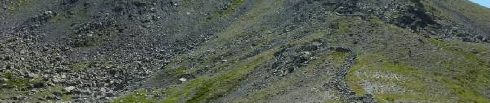
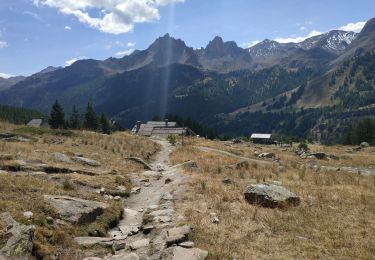
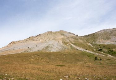
Cime de la Gardiole Porte du Cristol lacs Rond et du Cristol


Walking
Walking
Walking
Walking
Walking
Mountain bike
Walking
Walking
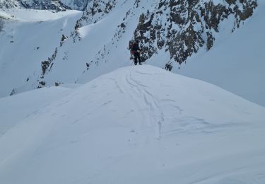
Touring skiing