


5.1 km | 11.9 km-effort


User


FREE GPS app for hiking
 SityTrail
IGN / Geographical institutes
SityTrail World
The world is yours!
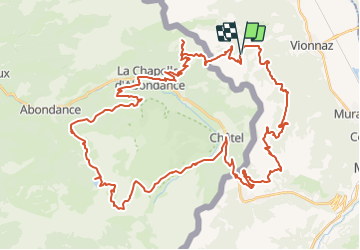
Trail Mountain bike of 63 km to be discovered at Valais/Wallis, Monthey, Vionnaz. This trail is proposed by maturin.
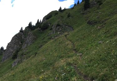
Départ depuis Plan de Croix / Torgon. Montée vers la Bourri. Depuis là, poussage jusqu''au col de Recon.
Sur la descente vers Chapelle d''Abondance, j''ai profité de faire un détour par le petit lac d''Arvoin (très joli).
Montée vers Clos Baron, et ensuite prendre le chemin forestier (assez facile) qui va en direction du Lac de Plagnes.
Montée vers les Chalets de Lens. Juste avant les chalets, il faut suivre l''itinéraire VTT qui passe par Les Covagnes. Descente direction Chatel.
Remontée vers le Pas de Morgin, Restaurant du Corbeau et Portes du Culet (c''est goudronné, là-haut).
Descente ves Torgon...il ne faut pas louper l''intersection (chemin forestion dans un virage). Bref, de toute façon, c''est indiquer...et retour vers le départ.

Walking
On foot
On foot
On foot

Snowshoes
Walking
Other activity
Walking
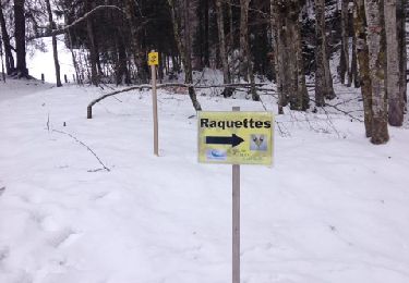
Snowshoes