


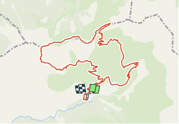

7.4 km | 12.1 km-effort


User


FREE GPS app for hiking
 SityTrail
IGN / Geographical institutes
SityTrail World
The world is yours!
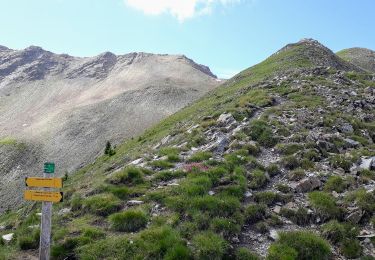
Trail Walking of 14.9 km to be discovered at Provence-Alpes-Côte d'Azur, Hautes-Alpes, Ancelle. This trail is proposed by cazycricri.
02 juillet 2021
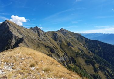
Partis pour boucler Grande Autane, l’envie de sieste est plus forte.
Il n’en reste pas moins que le parcours est dans l’ensemble peu difficile sur le sentier avec peu de déclivité.
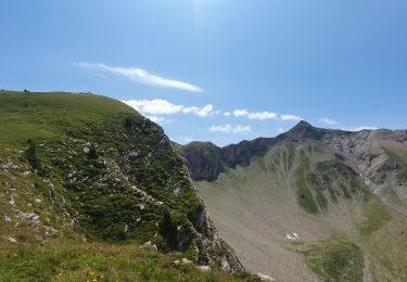
Pour les parties free-ride, ce sera au choix de chacun.
Paysage à 360° très agréable…on se régale.
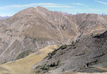
A noter que les sentiers balisés sont utilisables en VTT…on reviendra, après 15 jours dans le Jura, ils se reposent au frais dans le garage.

Walking

Running

Walking
Walking
Walking
Walking
Walking

Snowshoes

Walking