Trail On foot Deux-Grosnes - Randonnée du 08/05/2023 à 09:50 - Photo

Randonnée du 08/05/2023 à 09:50

© OpenStreetMap contributors
Length
Length
17.7 km
Max alt
Max alt
736 m
Uphill gradient
Uphill gradient
604 m
Km-Effort
Km-Effort  
26 km
Min alt
Min alt
447 m
Downhill gradient
Downhill gradient
600 m
Boucle
Boucle
Yes
Creation date :
2023-05-08 16:29:09.319
Updated on :
2023-05-08 16:52:27.603

(0 Reviews)

On foot
On foot
5h50
Difficulty : Medium

Scan this QR Code to open this trail in the SityTrail application

FREE GPS app for hiking

Logo SityTrail SityTrail

IGN / Geographical institutes

Download SityTrail from the App Store Download SityTrail from Google Play

Logo SityTrail SityTrail World

The world is yours!

Download SityTrail from the App Store Download SityTrail from Google Play Download SityTrail on Huawei AppGallery

About

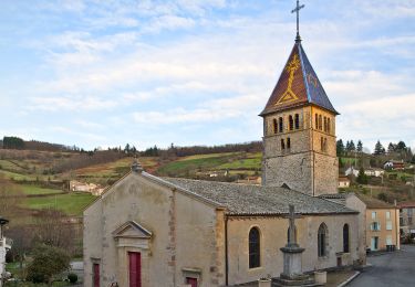
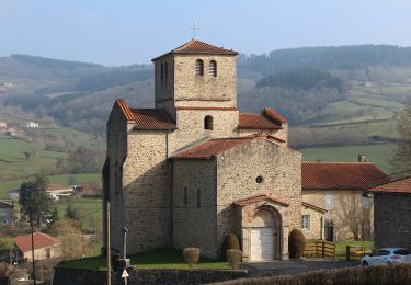
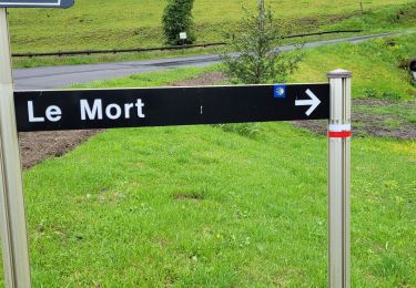
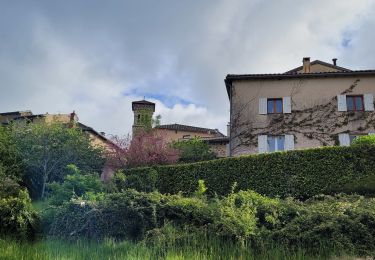
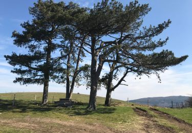
Trail On foot of 17.7 km to be discovered at Auvergne-Rhône-Alpes, Rhône, Deux-Grosnes. This trail is proposed by Thomasdanielle.

Description

D/A départ de la la Salle communale.
Randonnée village du 8 mai 2023, belle marche mais difficile pour randonneurs débutants.
Organisée par Animations Loisirs et rencontres "Les Genets"
Les 2 ravitaillements  au cours de la randonnée étaient copieux et bons (RAS), café offert à l'arrivée  le matin   soupe à l'oignon au retour.
Je recommande cette marche du village, il ne faut pas hésiter à la faire.

Elevation profile

Photos

Positioning

Country:
France
Region :
Auvergne-Rhône-Alpes
Department/Province :
Rhône
Municipality :
Deux-Grosnes
Location:
Saint-Jacques-des-Arrêts
Start:(UTM)
623082 ; 5123673 (31T) N.

Trails nearby

Trail Walking Deux-Grosnes - Circuit de Saint-Jacques des Arrêts - Photo
Walking
tracegps

Walking

Medium
(1)
Deux-Grosnes, Auvergne-Rhône-Alpes, Rhône, France
11.9 km | 17.3 km-effort
3h 0min
Yes
Trail Walking Deux-Grosnes - Ouroux - Photo
Walking
Galoche

Walking

Difficult
(1)
Deux-Grosnes, Auvergne-Rhône-Alpes, Rhône, France
19.1 km | 0 m-effort
5h 57min
Yes
Trail Walking Vauxrenard - Itinérant Beaujolais rouge étape 6 Foretal - Macon gare TGV - Photo
Walking
chessyca

Walking

Very difficult
Vauxrenard, Auvergne-Rhône-Alpes, Rhône, France
23 km | 28 km-effort
6h 26min
No
Trail On foot Deux-Grosnes - Circuit des Sapins - Photo
On foot
PRO

On foot

Difficult
Deux-Grosnes, Auvergne-Rhône-Alpes, Rhône, France
22 km | 33 km-effort
7h 34min
Yes
Trail On foot Deux-Grosnes - Circuit du Bois du Thym - Photo
On foot
PRO

On foot

Easy
Deux-Grosnes, Auvergne-Rhône-Alpes, Rhône, France
6.8 km | 10.6 km-effort
2h 24min
Yes
Trail Walking Cenves - cenves la madone  - Photo
Walking
darrisa

Walking

Very difficult
Cenves, Auvergne-Rhône-Alpes, Rhône, France
16.6 km | 26 km-effort
6h 0min
Yes
Trail Walking Deux-Grosnes - Séjour RCY : Les crêtes du Haut Beaujolais journée 3 - Photo
Walking
chessyca

Walking

Very difficult
Deux-Grosnes, Auvergne-Rhône-Alpes, Rhône, France
22 km | 32 km-effort
5h 42min
No
Trail Walking Cenves - Séjour RCY Les crêtes du Haut Beaujolais journée 2 - Photo
Walking
chessyca

Walking

Very difficult
Cenves, Auvergne-Rhône-Alpes, Rhône, France
27 km | 40 km-effort
6h 53min
No
Trail Walking Cenves - Cenves
Walking
Thomasdanielle

Walking

Difficult
Cenves, Auvergne-Rhône-Alpes, Rhône, France
14.2 km | 23 km-effort
5h 2min
Yes


Close
My subscriptions