


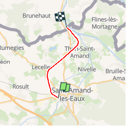

8.7 km | 9.7 km-effort


User


FREE GPS app for hiking
 SityTrail
IGN / Geographical institutes
SityTrail World
The world is yours!
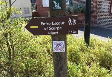
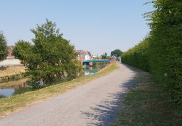
Trail Other activity of 9.1 km to be discovered at Hauts-de-France, Nord, Saint-Amand-les-Eaux. This trail is proposed by mich54.
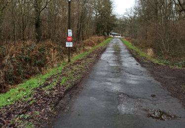
La ligne de Saint-Amand-les-Eaux à Maulde - Mortagne est une ligne ferroviaire française non électrifiée à voie unique reliant la gare de Saint-Amand-les-Eaux à la frontière franco-belge, au niveau de Mortagne-du-Nord. Bien qu'elle ne soit pas utilisée pour le TER Nord-Pas-de-Calais, Réseau Ferré de France la conserve pour qu'elle puisse potentiellement servir pour le fret. La ligne continuait autrefois de la frontière à la commune d'Antoing en Belgique, où elle était dénommée ligne 88.(Source Wikipédia)
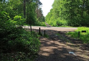
Walking
Walking
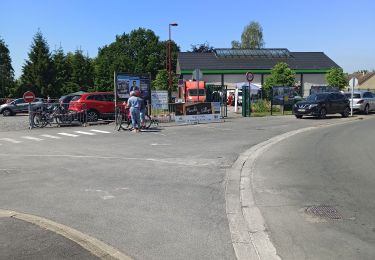
Walking
Walking
Walking
Walking
Walking

Walking
Mountain bike