


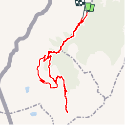

9.6 km | 17.9 km-effort


User


FREE GPS app for hiking
 SityTrail
IGN / Geographical institutes
SityTrail World
The world is yours!
Trail Walking of 11.5 km to be discovered at Valais/Wallis, Monthey, Monthey. This trail is proposed by johnaie99.
boucle de 11km, fait avec un enfant de 12ans

Walking

Walking
On foot

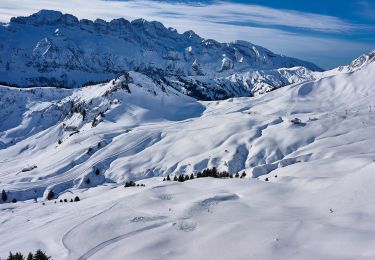
Snowshoes

Walking

Walking
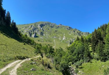
Walking

Snowshoes

Walking