


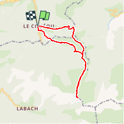

12.1 km | 23 km-effort

User


FREE GPS app for hiking
 SityTrail
IGN / Geographical institutes
SityTrail World
The world is yours!
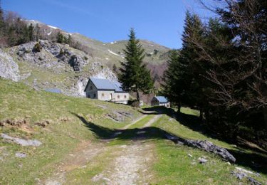
Trail Walking of 15 km to be discovered at Occitania, Haute-Garonne, Boutx. This trail is proposed by Rouzier.
Le Couéu,GR tour du Cagire Burat, cabane ,col de Piéjau,cols Cousirès et Grataux,Pas de Pèyre Nère,pics de la Pâle de Rase,Cap de Gauch, la Fontigne,Cap de Tire et Plan du Rey.
 depuis Coulédoux - Photo 1")

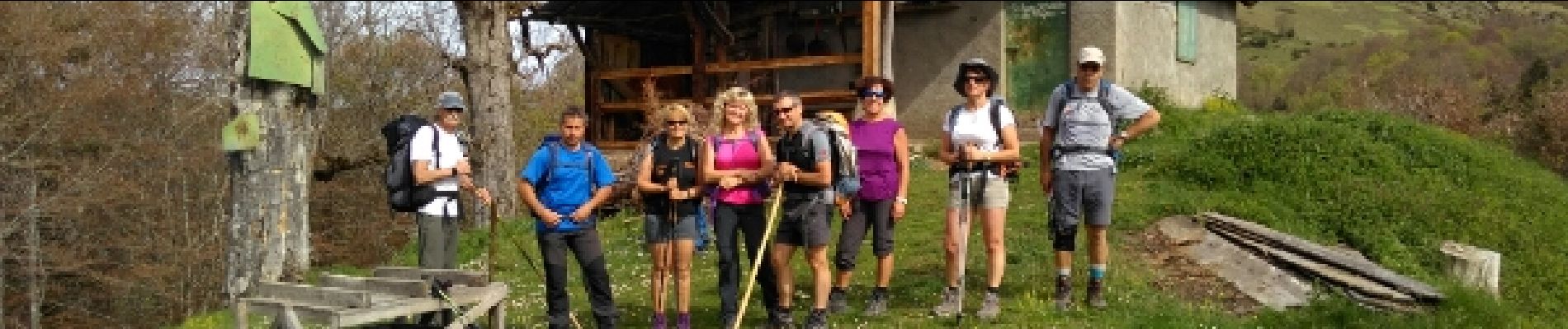
Walking
Walking
Walking
Walking
Walking
Walking
Walking
Walking
Walking