


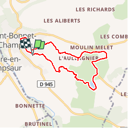


10.1 km | 16 km-effort

User


FREE GPS app for hiking
 SityTrail
IGN / Geographical institutes
SityTrail World
The world is yours!
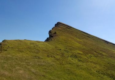
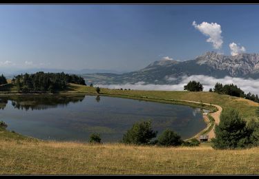
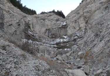
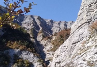
Trail Walking of 8.3 km to be discovered at Provence-Alpes-Côte d'Azur, Hautes-Alpes, Saint-Bonnet-en-Champsaur. This trail is proposed by Lesquems.
Très variée routes chemins champs et sous bois, des montées et descentes mais pas mal de plats


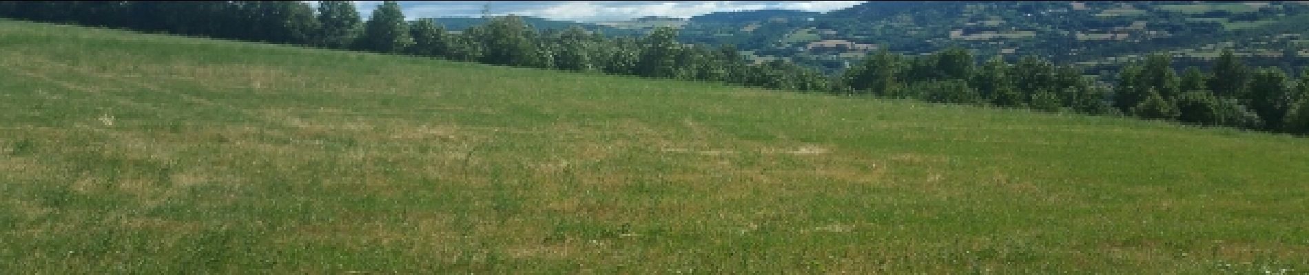
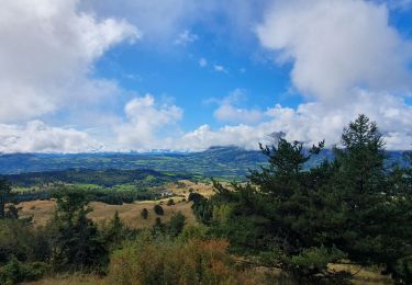
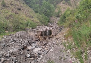
23 photos in total. Please click on a photo to see them all in the gallery.
Walking

Walking

Walking
Walking
Walking
Walking
Walking
Walking

Walking