


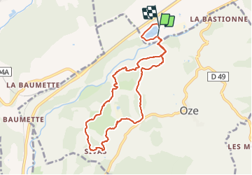


5.5 km | 10.3 km-effort


Les Hautes Alpes à découvrir ! GUIDE+


FREE GPS app for hiking
 SityTrail
IGN / Geographical institutes
SityTrail World
The world is yours!
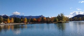
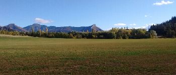
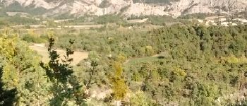
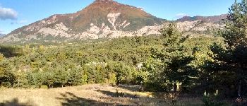
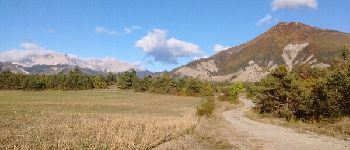
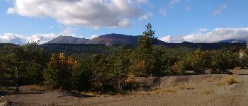
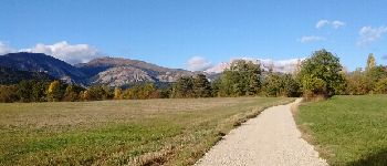
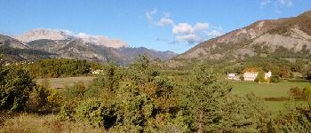
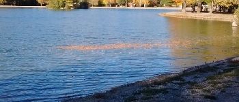
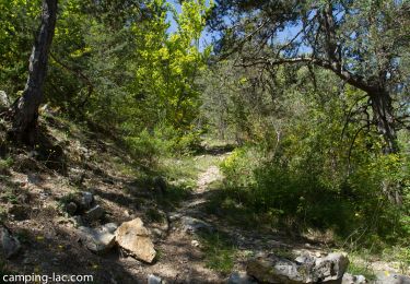
Trail Running of 9 km to be discovered at Provence-Alpes-Côte d'Azur, Hautes-Alpes, Veynes. This trail is proposed by Camping Les Rives du Lac.
Trail emprunté lors du Cross Triathlon de Juin à Veynes. Très roulant avec juste une petite montée et surtout la traversée du Buëch !!


Walking

Mountain bike

Mountain bike

Mountain bike

Mountain bike

Mountain bike

Walking

Walking

Walking