


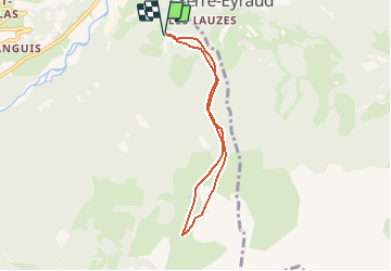

6.3 km | 9.9 km-effort


User


FREE GPS app for hiking
 SityTrail
IGN / Geographical institutes
SityTrail World
The world is yours!
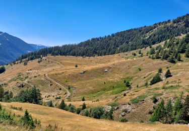
Trail Snowshoes of 6.3 km to be discovered at Provence-Alpes-Côte d'Azur, Hautes-Alpes, Saint-Jean-Saint-Nicolas. This trail is proposed by Orage.
Sortie ski de rando
Clot Davin, bois de la Marinière, Cabane de l'Aupette, Font Génique retour Clot Davin
Walking

Walking
Walking

Walking
Walking
Walking

Snowshoes
Walking
Walking