


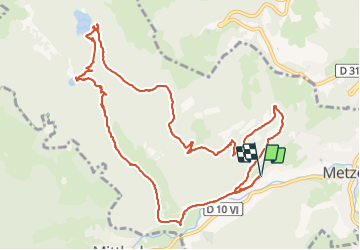

7.6 km | 13.7 km-effort


User


FREE GPS app for hiking
 SityTrail
IGN / Geographical institutes
SityTrail World
The world is yours!
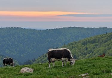
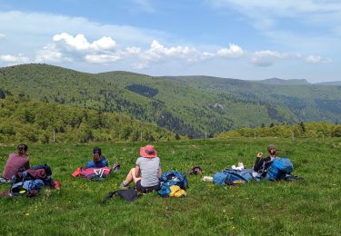
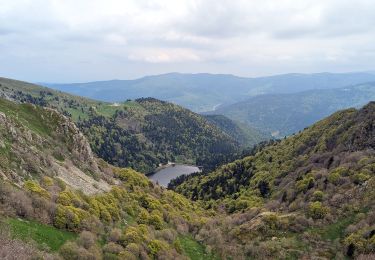
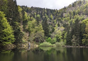
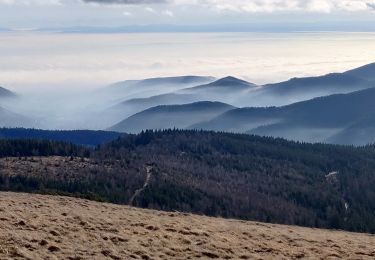
Trail Walking of 13 km to be discovered at Grand Est, Haut-Rhin, Metzeral. This trail is proposed by delm.
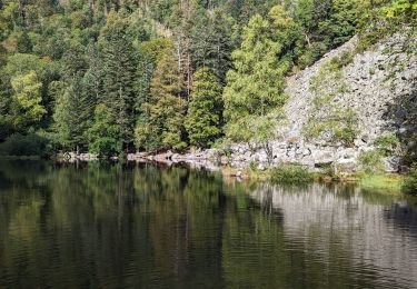
Très belle randonnée - Dans la montée restée sur la route forestière jusqu'au lac de schiessrodried. De nombreuses cascades gorgées d'eau tout le long du retour(saison printanière) vers Mittlach.

Walking

Snowshoes

Mountain bike
Walking
Walking
Walking
Walking
Walking
Walking