


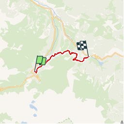

10.2 km | 20 km-effort


User


FREE GPS app for hiking
 SityTrail
IGN / Geographical institutes
SityTrail World
The world is yours!
Trail Walking of 11.4 km to be discovered at Occitania, Hautespyrenees, Campan. This trail is proposed by LouisROGER.
Non reconnu à ce jour donc tracé sans garantie!!!!
laisser voiture à Payolle !!!

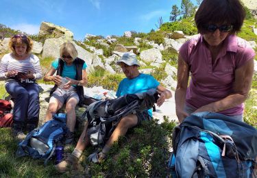
Walking

On foot

Walking
Walking
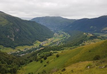
Walking

Walking

Walking
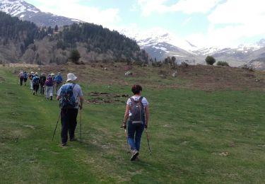
Walking

Walking
fait le 20 avril 2018