


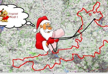
15.1 km | 20 km-effort
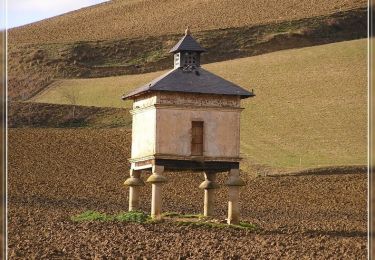
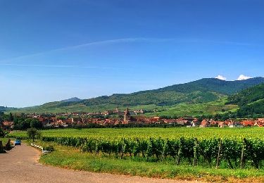
Walking
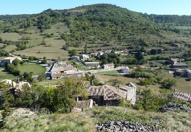
Walking
Mountain bike

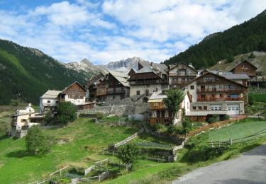
Walking
Mountain bike
Running

Walking
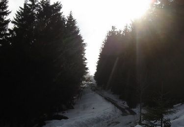
Snowshoes

Walking
Walking

Walking
Cycle
Walking
Walking
Walking
Walking
Running
Mountain bike
Snowshoes

Mountain bike
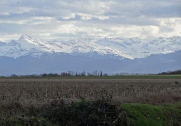
Walking