


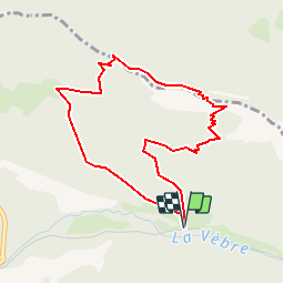

5 km | 6.7 km-effort

User


FREE GPS app for hiking
 SityTrail
IGN / Geographical institutes
SityTrail World
The world is yours!
Trail Walking of 4.3 km to be discovered at Auvergne-Rhône-Alpes, Drôme, Saou. This trail is proposed by tracegps.
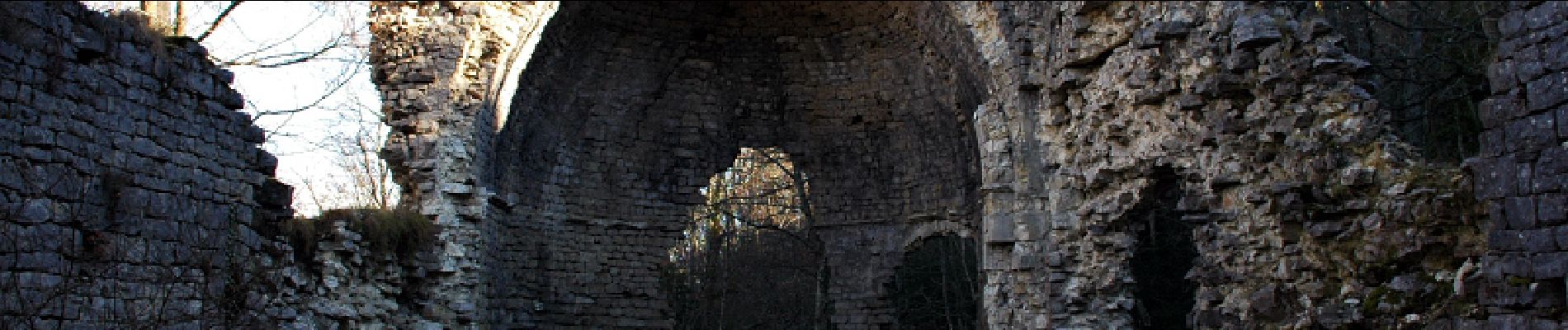
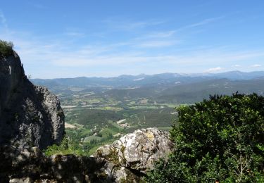
Cette Chapelle constitue un magnifique belvédère situé sur la crête Nord du synclinal, avec vue sur l'ensemble du synclinal de Saoû (Roche Colombe à l'ouest, Trois becs à l'Est), sur le Vercors au Nord. C'est une rando casse-croûte, plus de détails au gîte du Pré bossu.


Walking

Walking

Walking
Walking
Walking

Walking

Walking

Walking
Walking