


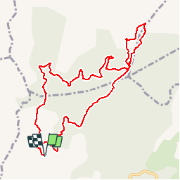

13.3 km | 20 km-effort

User


FREE GPS app for hiking
 SityTrail
IGN / Geographical institutes
SityTrail World
The world is yours!
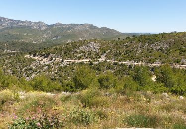
Trail Walking of 11.8 km to be discovered at Provence-Alpes-Côte d'Azur, Bouches-du-Rhône, Allauch. This trail is proposed by tracegps.
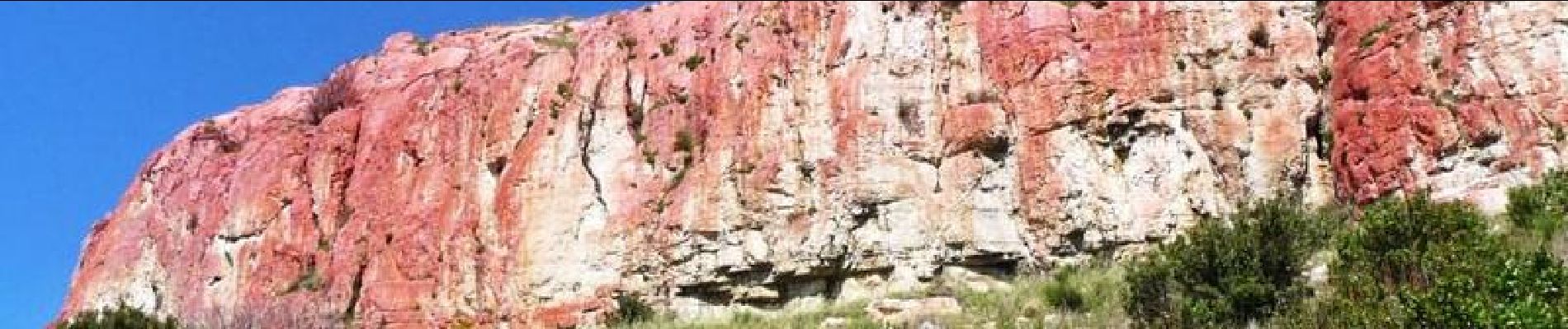
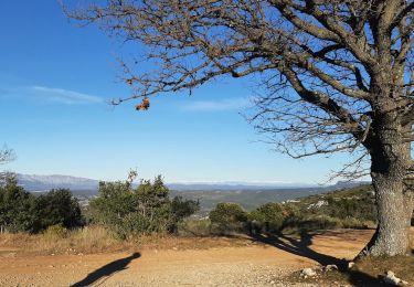
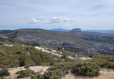
Stationnement du stand de tir Chemin de Mimet Allauch. Au démarrage une descente raide de la citerne jusqu’à l’altitude 237. Ensuite pas de difficulté particulière. Un beau chemin souvent en sous bois. Belles vues sur le massif de l’Etoile, Marseille, les îles du Frioul et le château d’If. Vous contournerez l’aire de la Moure qui est toute rouge. Pourquoi ? Parce que nos pompiers du feu s’y entraînent avec leurs avions et y déversent leur eau et leur retardant qui est rouge. D’autres informations sur le site de Rando Loisirs à Carnoux en Provence.

Walking

Walking
Walking
Mountain bike
Mountain bike

Mountain bike

Walking

Walking

Walking