


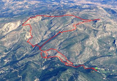
14.2 km | 24 km-effort

User


FREE GPS app for hiking
 SityTrail
IGN / Geographical institutes
SityTrail World
The world is yours!
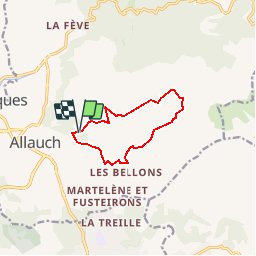
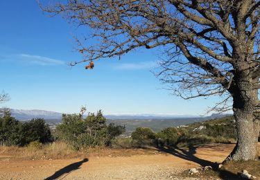
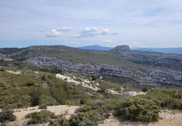
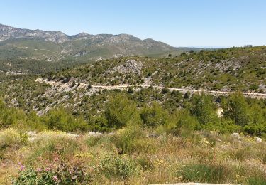
Trail Running of 9.7 km to be discovered at Provence-Alpes-Côte d'Azur, Bouches-du-Rhône, Allauch. This trail is proposed by tracegps.
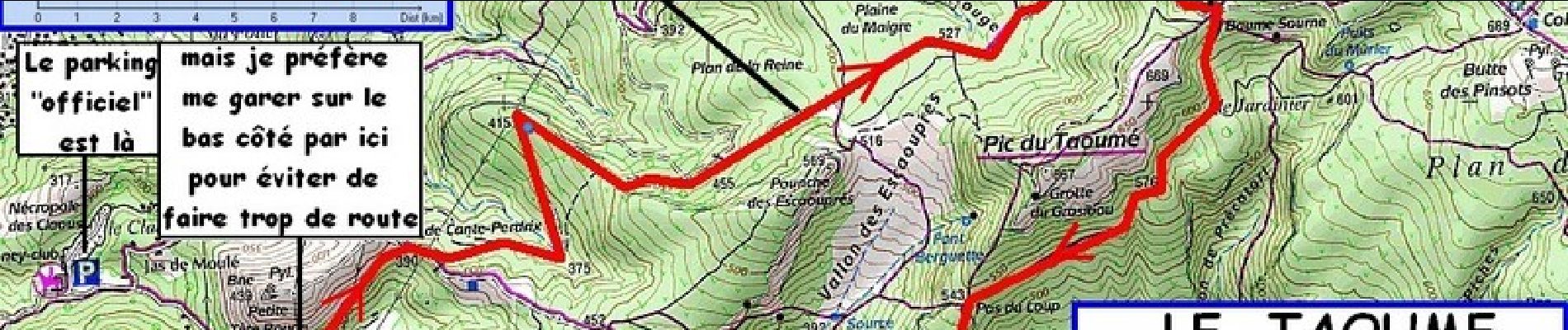
Les cigales sont congelées, les bartavelles sont engourdies ... et pourtant on est en pleine "pagnolade". Qu'il fait bon venir se frotter au Garlaban en plein hiver !

Walking
Walking
Walking

Walking
Walking
Mountain bike
Mountain bike

Mountain bike

Other activity