


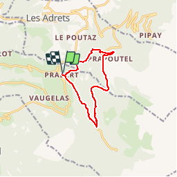

12.4 km | 21 km-effort


User


FREE GPS app for hiking
 SityTrail
IGN / Geographical institutes
SityTrail World
The world is yours!
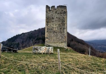
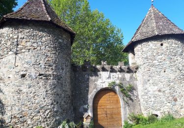
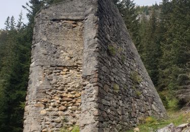
Trail Other activity of 9.7 km to be discovered at Auvergne-Rhône-Alpes, Isère, Laval-en-Belledonne. This trail is proposed by densjo.
Retour par le chemin dit de "Planchon"

Walking
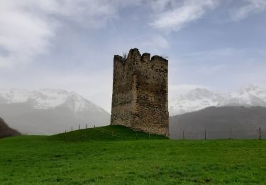
Walking
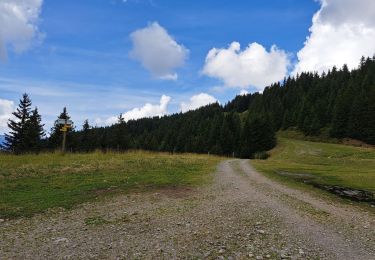
Walking
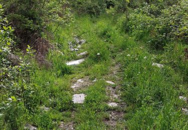
Walking
Walking
Walking
Walking
Walking

On foot