


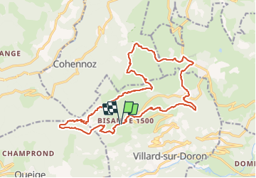

18.1 km | 28 km-effort

User


FREE GPS app for hiking
 SityTrail
IGN / Geographical institutes
SityTrail World
The world is yours!
Trail Walking of 22 km to be discovered at Auvergne-Rhône-Alpes, Savoy, Villard-sur-Doron. This trail is proposed by flip38.
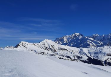
Belle boucle, assez longue avec la visite de deux sommets voisins le Mont Bisanne et la Croix de Coste.
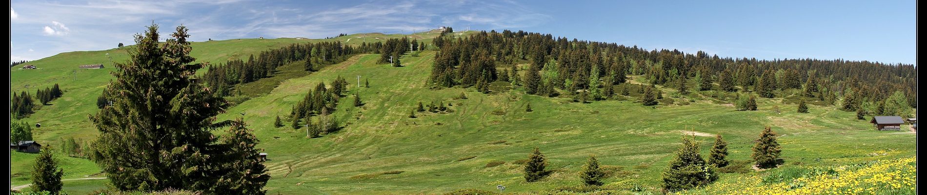
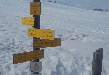
Passage dans la station des Saisies, les remontées mécaniques sont présentes, mais le paysage se laisse largement apprécier.
Descente raide sous la Croix de Coste pour aller rejoindre le lac des Saisies.
D'autres informations sur mon site : http://surlessommets.blog.free.fr/


Walking

Cycle

Mountain bike

Walking
Walking
Snowshoes
Walking
Horseback riding

Walking