


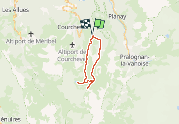

11.4 km | 24 km-effort

User


FREE GPS app for hiking
 SityTrail
IGN / Geographical institutes
SityTrail World
The world is yours!
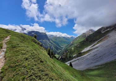
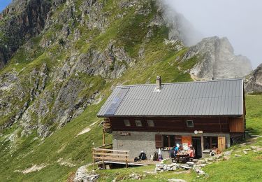
Trail Walking of 18.4 km to be discovered at Auvergne-Rhône-Alpes, Savoy, Courchevel. This trail is proposed by bymarc26.
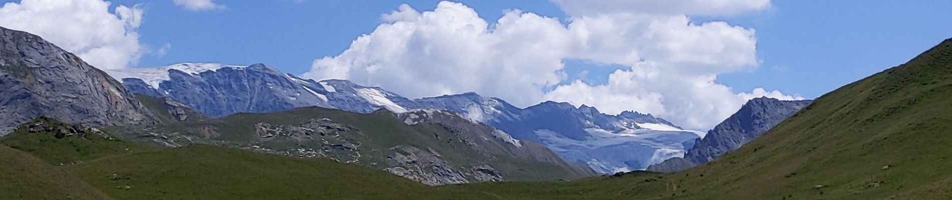
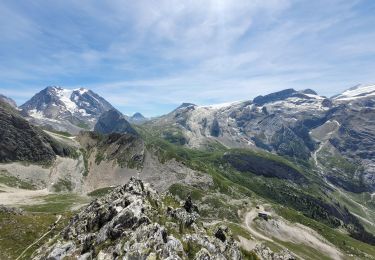
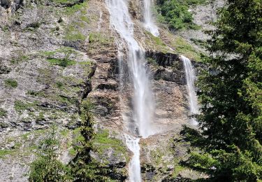
A faire dans ce sens. Très belles vues.
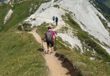
Facile malgré la longueur.


Walking

Walking
Walking
Walking
Walking
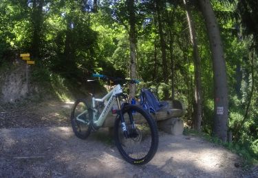
Mountain bike
Walking

Walking
Walking