


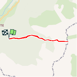


10.3 km | 17.5 km-effort

Les Hautes Alpes à découvrir ! GUIDE+


FREE GPS app for hiking
 SityTrail
IGN / Geographical institutes
SityTrail World
The world is yours!
Trail Walking of 5.6 km to be discovered at Auvergne-Rhône-Alpes, Drôme, Lus-la-Croix-Haute. This trail is proposed by Camping Les Rives du Lac.
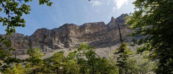
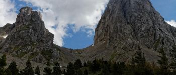
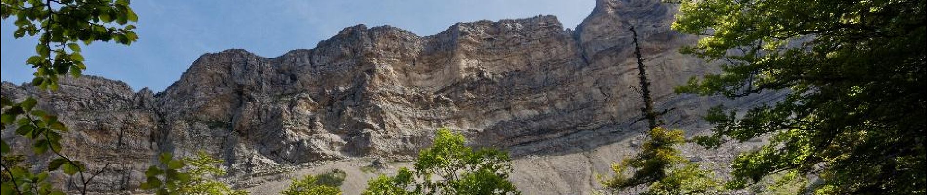
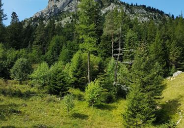
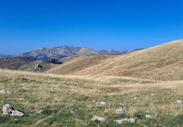
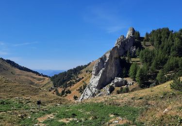
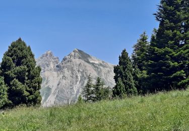
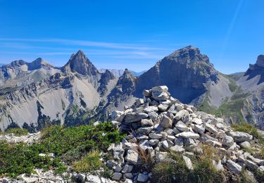
A second hike to associate with Roll'Herbe, a little longer than the Col de la Croix (R37). The Aiguilles pass marks a true landscape border between Buëch and Dévoluy


Walking

Walking

Walking

Walking
Walking
Walking
Walking
Walking
Walking