


19.3 km | 32 km-effort
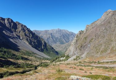
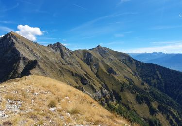
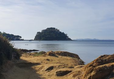
Walking
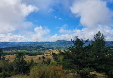
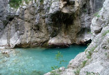
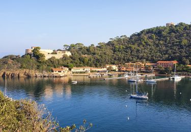
Walking
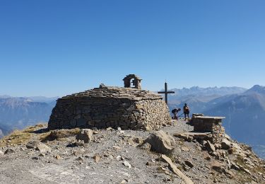
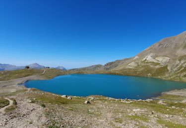
On foot
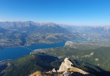
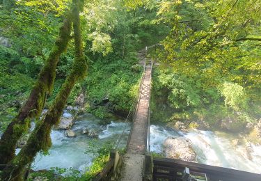
Walking
Walking
Walking
Walking
Walking
Walking
Walking
Walking
Walking
Walking
Walking
Walking
Walking

Walking
Walking
Walking
Walking